Amber rainstorm warning and flood alerts issued after more than 120mm of rain in two hours overwhelm drainage systems in northern districts
EVENT-DRIVEN — the story is driven by a sudden, high-intensity rainfall event that triggered localized flooding across Hong Kong’s northern New Territories.
Heavy rain swept across northern Hong Kong on Wednesday night, inundating parts of the New Territories and triggering official flood alerts after rainfall intensified far beyond normal drainage capacity.
What is confirmed is that the Hong Kong Observatory issued an amber rainstorm warning at around 9 p.m., indicating rainfall intense enough to exceed 30 millimetres per hour and posing a risk of flooding in low-lying areas.
Shortly afterward, a dedicated flood alert was issued for the northern New Territories, signaling that flooding was either occurring or expected in the region’s flood-prone zones.
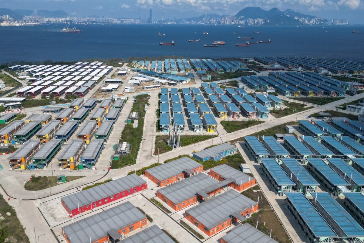
The hardest-hit districts included Ta Kwu Ling and surrounding areas, where rainfall totals exceeded 70 millimetres within a single hour.
In the broader North District, more than 120 millimetres of rain fell within a two-hour window, a level of intensity capable of overwhelming urban drainage systems and rapidly flooding roads, underpasses, and low-lying residential areas.
The impact was visible on the ground.
Roads in multiple locations became waterlogged, with reports of stranded vehicles and floodwater accumulating in poorly drained sections.
In some areas, water depth reached levels sufficient to disrupt traffic flow and temporarily isolate sections of the road network.
The northern New Territories are particularly vulnerable to this type of flooding due to their geography and drainage characteristics.
Unlike Hong Kong’s dense urban core, these areas contain lower-lying plains and dispersed infrastructure where runoff accumulates quickly and drainage takes longer to disperse.
This makes them a recurrent hotspot during localized downpours, even when other parts of the city remain relatively unaffected.
The key issue is rainfall concentration over a short time window.
Even when total daily rainfall is not extreme, bursts of very intense precipitation can exceed the design capacity of stormwater systems, leading to flash flooding.
The warning system used in Hong Kong escalates rapidly in response to these thresholds, moving from general rain alerts to localized flood announcements when conditions deteriorate in specific districts.
Emergency messaging urged residents to avoid flood-prone roads and stay alert to rapidly changing conditions as rainfall bands moved across the region.
Transport disruptions were localized but immediate, particularly in rural and semi-urban sections where drainage infrastructure is less robust than in central districts.
This event fits into a broader pattern of increasingly frequent high-intensity rain episodes affecting Hong Kong during the summer monsoon season, where short-duration downpours are becoming the primary driver of urban flooding risk rather than prolonged rainfall events.
As rainfall eased later in the night, attention shifted to clearing flooded roads and restoring normal traffic flow, with authorities maintaining monitoring as additional rain bands remained possible across the territory.
Heavy rain swept across northern Hong Kong on Wednesday night, inundating parts of the New Territories and triggering official flood alerts after rainfall intensified far beyond normal drainage capacity.
What is confirmed is that the Hong Kong Observatory issued an amber rainstorm warning at around 9 p.m., indicating rainfall intense enough to exceed 30 millimetres per hour and posing a risk of flooding in low-lying areas.
Shortly afterward, a dedicated flood alert was issued for the northern New Territories, signaling that flooding was either occurring or expected in the region’s flood-prone zones.
The hardest-hit districts included Ta Kwu Ling and surrounding areas, where rainfall totals exceeded 70 millimetres within a single hour.
In the broader North District, more than 120 millimetres of rain fell within a two-hour window, a level of intensity capable of overwhelming urban drainage systems and rapidly flooding roads, underpasses, and low-lying residential areas.
The impact was visible on the ground.
Roads in multiple locations became waterlogged, with reports of stranded vehicles and floodwater accumulating in poorly drained sections.
In some areas, water depth reached levels sufficient to disrupt traffic flow and temporarily isolate sections of the road network.
The northern New Territories are particularly vulnerable to this type of flooding due to their geography and drainage characteristics.
Unlike Hong Kong’s dense urban core, these areas contain lower-lying plains and dispersed infrastructure where runoff accumulates quickly and drainage takes longer to disperse.
This makes them a recurrent hotspot during localized downpours, even when other parts of the city remain relatively unaffected.
The key issue is rainfall concentration over a short time window.
Even when total daily rainfall is not extreme, bursts of very intense precipitation can exceed the design capacity of stormwater systems, leading to flash flooding.
The warning system used in Hong Kong escalates rapidly in response to these thresholds, moving from general rain alerts to localized flood announcements when conditions deteriorate in specific districts.
Emergency messaging urged residents to avoid flood-prone roads and stay alert to rapidly changing conditions as rainfall bands moved across the region.
Transport disruptions were localized but immediate, particularly in rural and semi-urban sections where drainage infrastructure is less robust than in central districts.
This event fits into a broader pattern of increasingly frequent high-intensity rain episodes affecting Hong Kong during the summer monsoon season, where short-duration downpours are becoming the primary driver of urban flooding risk rather than prolonged rainfall events.
As rainfall eased later in the night, attention shifted to clearing flooded roads and restoring normal traffic flow, with authorities maintaining monitoring as additional rain bands remained possible across the territory.