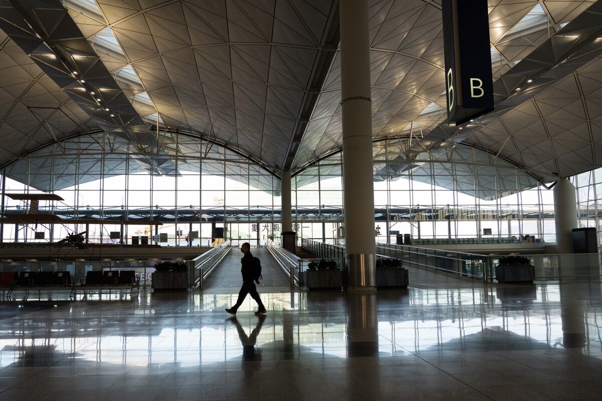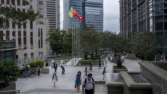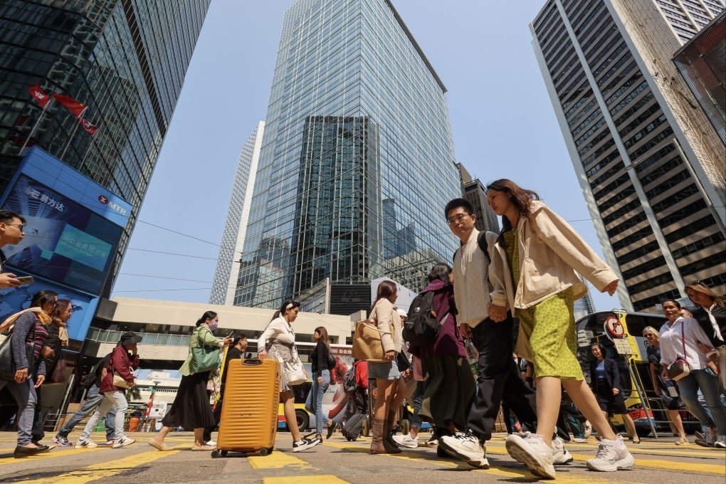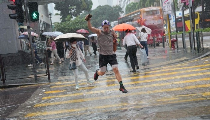
The Hong Kong Observatory has raised its lowest rainstorm alert level amid intense thundery showers, warning of flooding risks, hazardous winds, and rapidly changing conditions across the territory.
SYSTEM-DRIVEN weather dynamics are driving a sharp escalation in Hong Kong’s rainfall alerts, as the Hong Kong Observatory issues an Amber Rainstorm Warning in response to developing thundery showers and strong wind gusts linked to upper-air atmospheric disturbances.
What is confirmed is that the Amber signal was raised as heavy rain bands associated with unstable atmospheric conditions moved across the territory.
The warning indicates that rainfall is either occurring or expected to exceed roughly thirty millimetres in an hour, a threshold that can quickly overwhelm drainage systems in dense urban areas.
The system is designed to alert the public to potential flooding risks and trigger readiness measures across transport and emergency services.
The Observatory also issued concurrent thunderstorm warnings, highlighting the presence of intense convective activity capable of producing sudden downpours and hazardous wind gusts.
In similar recent episodes, gusts have reached around seventy kilometres per hour or higher, posing risks from falling debris, reduced visibility, and instability on exposed roads and elevated transport routes.
The immediate hazard profile is driven by short-duration, high-intensity rainfall events.
In Hong Kong’s geography, where steep terrain meets heavily built-up low-lying districts, these conditions can lead to flash flooding in streets, underpasses, and poorly drained areas within a short timeframe.
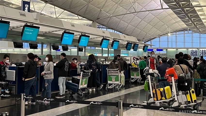
Transport disruption is a recurring consequence, particularly on road networks and sections of the metro system exposed to surface runoff.
The Amber Rainstorm Warning represents the lowest of three formal alert levels, but its activation is operationally significant.
It signals that rainfall conditions may deteriorate further into higher-tier Red or Black warnings if storm cells intensify or stall over the territory.
Those higher levels correspond to more severe flooding risk, widespread disruption, and heightened public safety interventions.
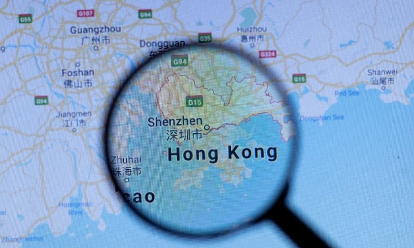
The current weather pattern is linked to unstable upper-air flows affecting southern China and the Pearl River Delta region.
These systems often produce clusters of thunderstorms rather than uniform rainfall, meaning conditions can vary sharply between districts, with some areas experiencing heavy downpours while others remain relatively unaffected.
The broader implication is that Hong Kong’s rainstorm warning system is increasingly operating in a high-frequency alert environment during the spring and summer transitional months.
Urban density, climate variability, and intense localized rainfall combine to make short-term forecasting and response critical for limiting disruption and managing public safety.
As the system continues to track evolving storm cells, authorities remain focused on real-time monitoring of rainfall intensity and wind conditions to determine whether escalation to higher warning levels is required.
What is confirmed is that the Amber signal was raised as heavy rain bands associated with unstable atmospheric conditions moved across the territory.
The warning indicates that rainfall is either occurring or expected to exceed roughly thirty millimetres in an hour, a threshold that can quickly overwhelm drainage systems in dense urban areas.
The system is designed to alert the public to potential flooding risks and trigger readiness measures across transport and emergency services.
The Observatory also issued concurrent thunderstorm warnings, highlighting the presence of intense convective activity capable of producing sudden downpours and hazardous wind gusts.
In similar recent episodes, gusts have reached around seventy kilometres per hour or higher, posing risks from falling debris, reduced visibility, and instability on exposed roads and elevated transport routes.
The immediate hazard profile is driven by short-duration, high-intensity rainfall events.
In Hong Kong’s geography, where steep terrain meets heavily built-up low-lying districts, these conditions can lead to flash flooding in streets, underpasses, and poorly drained areas within a short timeframe.
Transport disruption is a recurring consequence, particularly on road networks and sections of the metro system exposed to surface runoff.
The Amber Rainstorm Warning represents the lowest of three formal alert levels, but its activation is operationally significant.
It signals that rainfall conditions may deteriorate further into higher-tier Red or Black warnings if storm cells intensify or stall over the territory.
Those higher levels correspond to more severe flooding risk, widespread disruption, and heightened public safety interventions.
The current weather pattern is linked to unstable upper-air flows affecting southern China and the Pearl River Delta region.
These systems often produce clusters of thunderstorms rather than uniform rainfall, meaning conditions can vary sharply between districts, with some areas experiencing heavy downpours while others remain relatively unaffected.
The broader implication is that Hong Kong’s rainstorm warning system is increasingly operating in a high-frequency alert environment during the spring and summer transitional months.
Urban density, climate variability, and intense localized rainfall combine to make short-term forecasting and response critical for limiting disruption and managing public safety.
As the system continues to track evolving storm cells, authorities remain focused on real-time monitoring of rainfall intensity and wind conditions to determine whether escalation to higher warning levels is required.